
Smart map
#360 Interactive
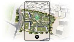
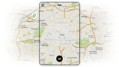
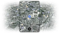
3D smart map : a clear and accessible representation
Interactive mapping is a digital visualization that allows users to navigate an interactive geographic view and display detailed, contextualized information. It is used to locate a project and gain a better understanding of its surroundings.
A precise and fully customizable smart map
AXEON-360 designs interactive maps perfectly tailored to your needs: real estate development, urban planning, lot allocation, visualization of networks or infrastructure projects. This approach guarantees a professional representation that is easily understood by your clients, partners, or investors.
An intuitive experience for analyzing, presenting, and persuading
Thanks to our expertise in creating interactive maps, you have an easy-to-use tool, optimized for navigation and immediate understanding. You can display data, zoom, filter information, or navigate between different areas without sacrificing clarity. This seamless experience enhances your sales presentations and strengthens your ability to effectively advocate for your project with your stakeholders.
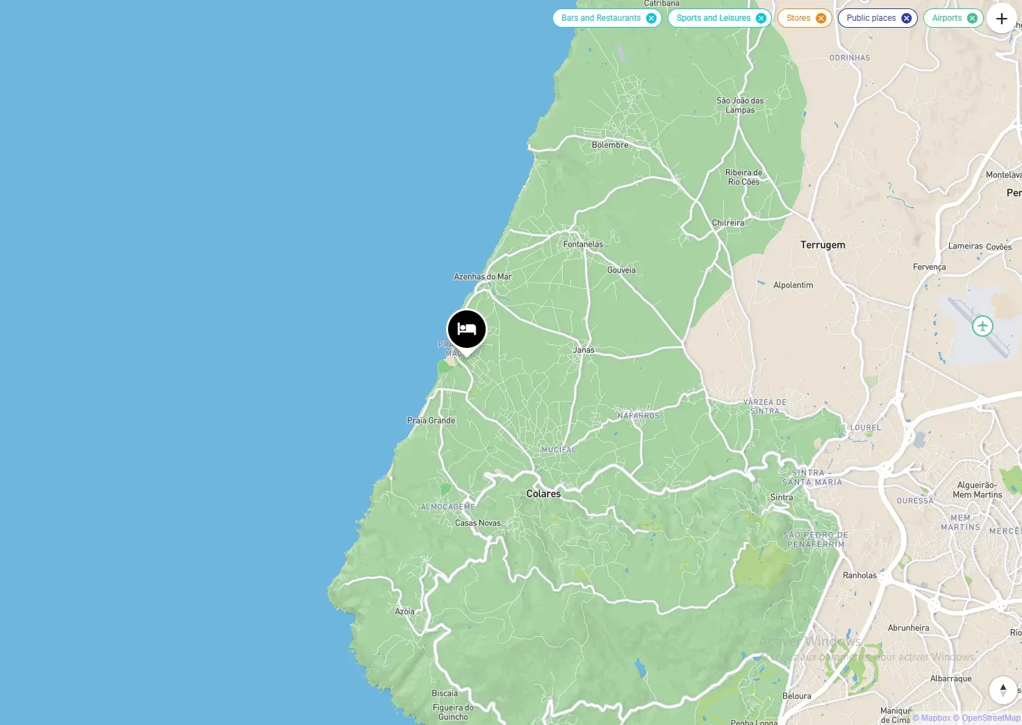
What is a smart map and what is it used for ?
An interactive map is a digital visualization that allows users to navigate, zoom, and view detailed information about different areas of a project. It helps clarify site layouts, present data, and facilitate understanding of the overall plan for your clients or partners.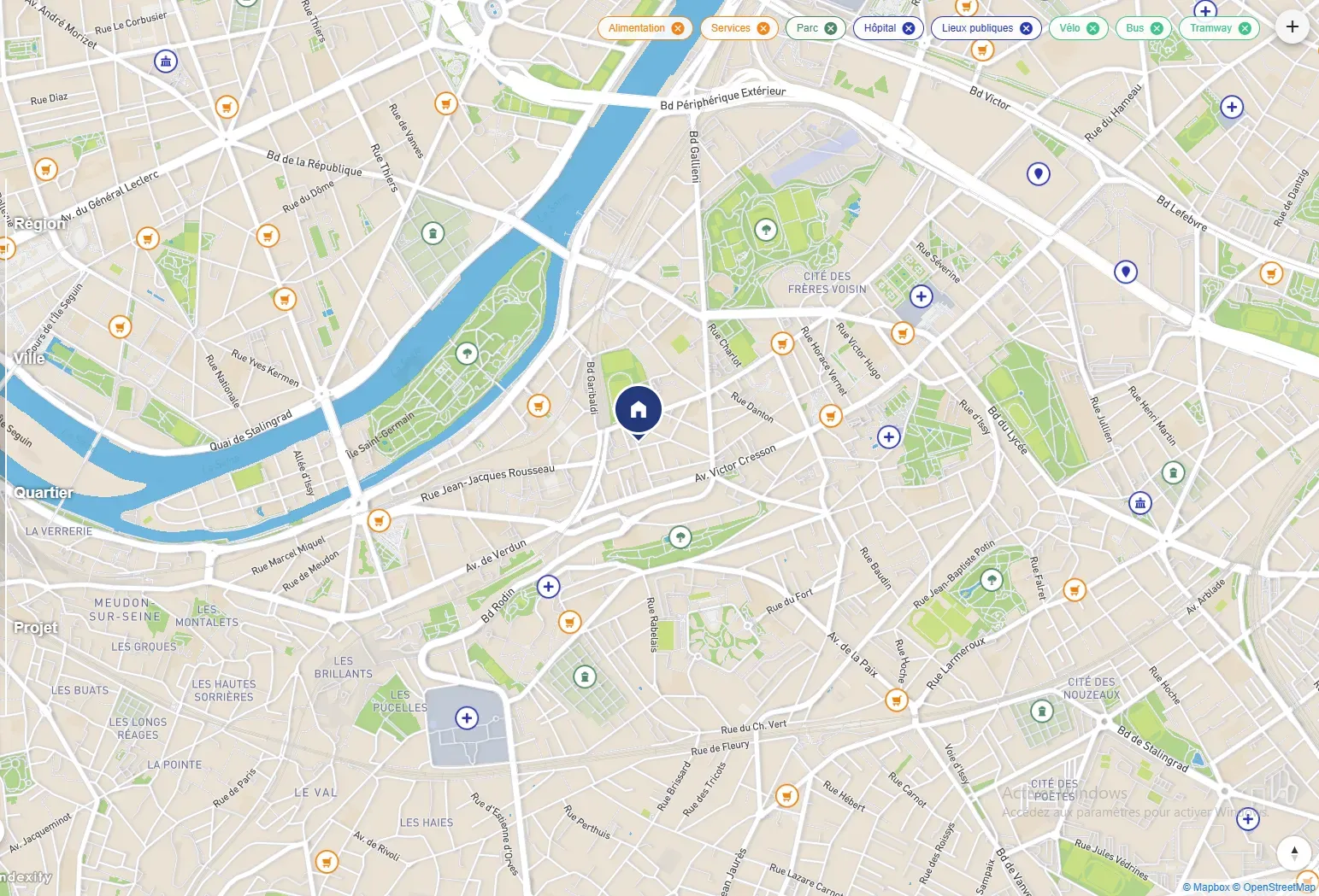
An interactive tool designed to showcase your real estate or urban projects
Creating an interactive map is ideal for developers, land subdividers, urban planners, and architects. It allows them to present a project from a strategic, clear, and immersive perspective. Whether it's a real estate development, a housing estate, or a land-use plan, interactive mapping makes the presentation more professional and accessible.
A strategic tool for your presentations and sales
Our 3D mapping views offer a precise and immersive rendering that goes beyond a simple map. We integrate roads, terrain, green spaces, and surrounding buildings to give your stakeholders an immediate understanding of the living environment and the location of your project. Each visual is designed to attract and reassure, providing a clear and engaging vision.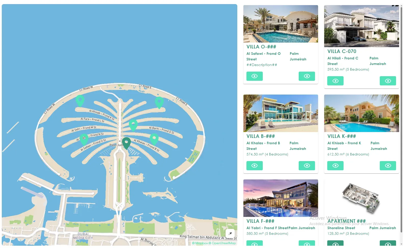
AXEON-360's expertise at the service of your projects
With our expertise in 3D real estate visualization, we produce cartographic views that combine technical precision with aesthetic appeal. Our goal: to transform a simple plan into a powerful communication tool, capable of supporting your sales efforts and convincing your partners.FAQ – Smart map
Mapping allows you to simultaneously display a real estate project and its contextual data within a single visual environment. This enables your prospects to immediately grasp the development's location, thereby accelerating decision-making and enhancing sales transparency.
Yes. Our interactive maps are optimized for easy integration into any website via iFrame, custom module, or direct integration. They maintain their fluidity and display quality.
It's ideal for real estate projects, subdivisions, urban plans, industrial projects, network layouts, or strategic presentations requiring clear visual understanding.
Depending on the project's complexity, the turnaround time is generally between 5 and 15 days. We can also mobilize our teams on short notice to meet urgent business needs.
The price depends on the area, the level of details, the interactive features expected, and the project complexity. A customized quote is provided to ensure excellent value for money.
We are available at any time to arrange a video conference in order to present our references, analyze your needs, and answer your questions. Please feel free to send us a message using the form opposite :